
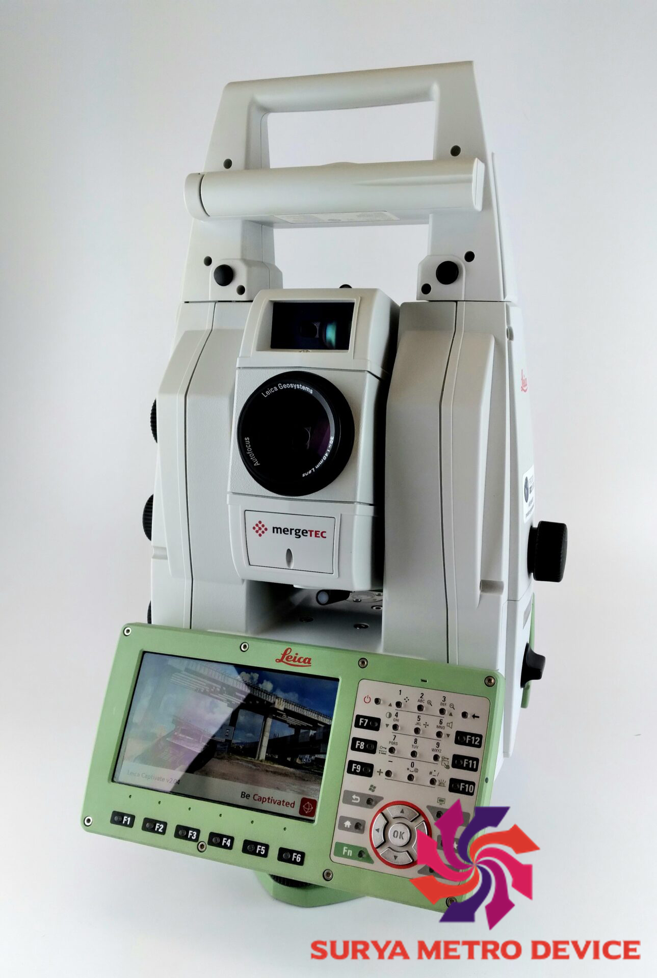


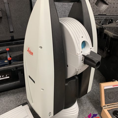
Leica Nova MS60 1″ MultiStation
Leica Nova MS60 sale includes:
- Leica Nova MS60 1” (0.3mgon) MultiStation with reflectorless EDM (R2000) and high-speed 1000Hz EDM
- Leica Captivate software- Measure & Stakeout
- Automatic target recognition,
- PowerSearch,
- 5MP imaging, overview camera,
- 30x telescope camera,
- Autofocus,
- WLAN,
- Bluetooth,
- RS232/USB interface,
- RadioHandle interface,
- USB stick/SD card interface,
- 2GB eMMC Flash Memory,
- 1GB SDRAM, 2 keyboards with 5” WVGA color touch screen,
- Laser plummet,
- 2X GEB242 batteries
- GKL341 Pro Charger
- SD Memory card 8GB
- GDF321 Tribrach
- Quick Guide
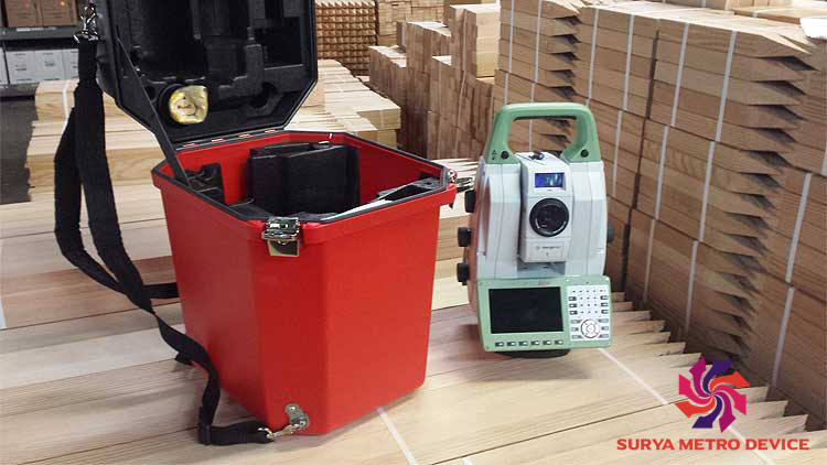
- upright container.
LEICA NOVA MS60 MULTISTATION: THE SCANNING ROBOTIC TOTAL STATION
The ultimate all-rounder, a scanning, self-learning total station with GNSS connectivity and digital imaging
The new version of Leica Nova MS60, the world’s first MultiStation, enables you to perform all surveying tasks with one instrument. It brings sensor fusion to the next level by combining:
- Highest-end total station capabilities
- 3D laser scanning, enabling you to scan up to 30’000 points per second
- GNSS connectivity
- Digital imaging
The MS60 is a scanning total station that empowers complete data collection of individual points and large areas by leveraging sensor fusion and automation. Seamlessly integrated into Leica field and office surveying software, you can quickly complete your work on-site and offer a range of high-value deliverables.
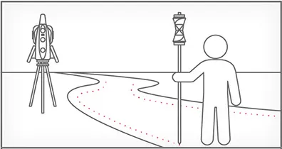
Highest-end total station
Highly accurate angle and distance measurements, robust design and easy-to-use apps. With improved automated functionalities, like Dynamic Lock and Autoheight, and the self-learning ARTplus features, the MS60 increases your efficiency, even in the most challenging conditions.
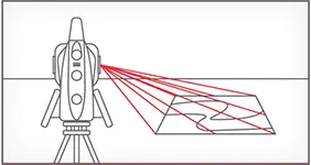 3D laser scanning
Scan up to 30,000 points per second (Hz) to complete your work quickly and get dense scanning grids. The MS60 features optimised scanning paths, including zenith scans, allowing you to significantly reduce the total scanning time.
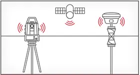
GNSS connectivity
GNSS is fully integrated in the workflow and the data structure, enabling direct georeferencing and increasing your flexibility in the field.
 Digital imaging
Digital imaging technology, including an overview and a 30x magnifying telescope camera, enables accurate image-assisted surveying both at the instrument and remotely, while also including extended image documentation.




There are no reviews yet.