
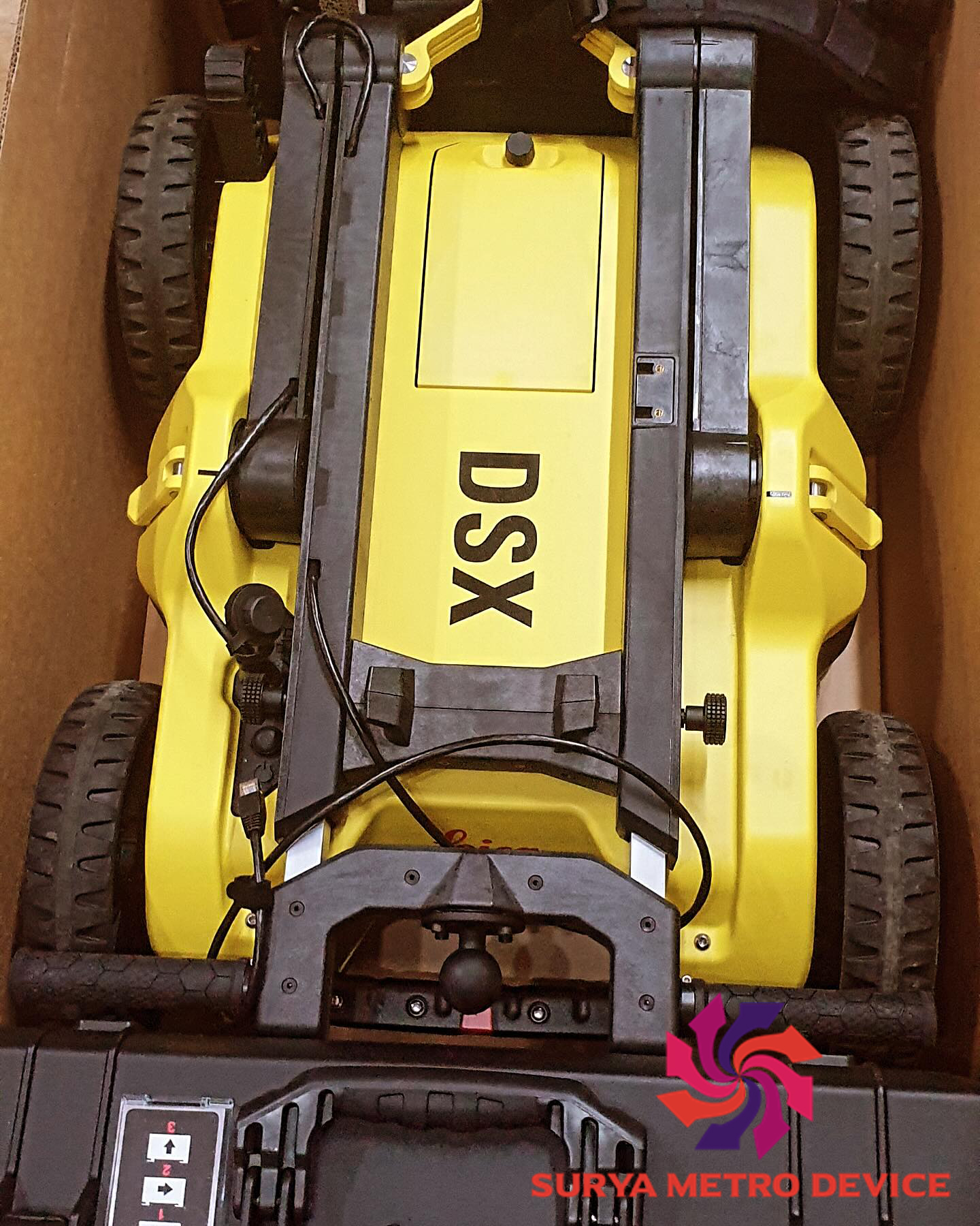
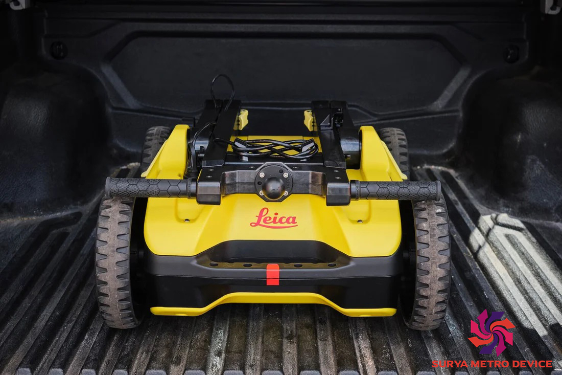
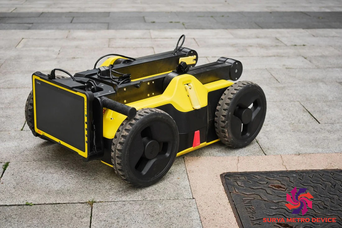
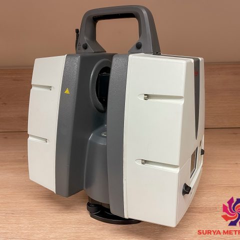
Leica DSX Ground Penetrating Radar Utility Detection Solution
Leica DSX Key Benefits:
Ease of Use
- Smooth and accurate underground utility detection without expert knowledge.
- Complete utility detection and mapping in just a few steps.
- Scan anywhere and at any time, even in narrow areas and under severe conditions.
Instant 2D/3D Utility Map
- Save time onsite by mapping underground utilities in just minutes.
- Export utilities in CAD or BIM-read formats for further usage if required.
- Create professional reports, customised to your needs.
Reliable Detection Results
- Detect all types of underground utilities in high resolution to assure reliable avoidance zones.
- Verify detected utilities with support of smart algorithm.
- Import of POI’s and utility records to help you make better decisions.
Integrated Solution
- Offers a complete workflow from acquire to excavate.
- Locate underground utilities with survey-grade accuracy.
- Generate utility maps, compatible with all coordinate reference systems.
- Seamless integration with other Leica software including Leica iCON 3D Excavate MC1, Leica iCON Site, Leica Infinity Leica Captivate. and
Ease of Use
– Ensure smooth and accurate underground utility detection without expert knowledge.
– Complete utility detection and mapping in just a few steps through intuitive user interface.
– Scan anywhere and at any time, even in narrow areas and under severe conditions.
Instant 2D/3D Utility Map
– Save your time on site by mapping underground utilities in just minutes.
– Export utilities in CAD or BIM-read formats for further usage.
– Create professional reports, customised to your and your customers’ needs.
Reliable Detection Results
– Detect all types of underground utilities in high resolution to assure reliable avoidance zones.
– Verify detected utilities with support of smart algorithm.
– Import of POI’s and utility records to help you make better decisions.
Integrated Solution
– Offer a complete workflow from acquire to excavate.
– Locate underground utilities with survey-grade accuracy.
– Generate utility maps, compatible with all coordinate reference systems.


There are no reviews yet.